KANATHUR -KANNAN’S UR- KANNUR
Kanathur Kavu Now known as
Kanakathur Sree Kurumbakkavu
Kannur district derived its name from the location of its headquarters at Kannur town. The old name ‘Cannanore’ is the anglicised form of the Malayalam word Kannur. According to one opinion, ‘Kannur’ is a derivation from Kanathur, an ancient village, the name of which survives even today in one of the wards of Kannur Municipality.
Kadalayi Temple.
Another version is that Kannur might have assumed its name from one of the deities ofthe Hindu pantheon, a compound of two words, Kannan (Lord Krishna) and Ur (place) making it the place of Lord Krishna. In this context, it is worth mentioning that the deity of the Katalayi Sreekrishna temple was originally installed in a shrine at Katalayi Kotta in the southeastern part of the present Kannur town.
The old photo has some distinctive features:
1. There are 3 almost similar type temples in a row with the same height (usually little higher than normal) .
2.The three buildings are constructed with different materials for roof, and probably in different time of age. There may be one main God and associated with two sub-Gods,but difficult to say which one is main.
3. There is a step-like gallery at the right side and behind of the last temple(Probably a place to watch temple procession or Theyyams) associated with trees behind-(like a kavu).
4. Assuming that these pictures in the series were taken by Western photographers in that time; they took important structures inside Kannur town especially,near Fort,Payyambalam,Camp bazar and Burnassessy etc.
Look at the frontage and roof pattern of temple. Which is this place? What may the deity in these Temples?


The roof pattern cannot visible anywhere than Kerala, especially North Kerala and South Canara. In 1886 and earlier these are important constructions and landmark of an area, where most of the houses are merely huts.

Look at the frontage and roof pattern of temple. Which is this place? What may the deity in these Temples? So can we assume these photos are from the same location? The first one has a title, Clearly says it is from Kananthur Temple. I confused again as there is another kanathur 'Temple 'at Pallikunnu, Kannur. And looks same too.
Mr Sugunan has given an important feedback earlier:
"Empezado por sugunan Ver Mensaje
The pic of the theyyam is from Kanathur Kavu, an ancient kavu just near to Kannur town on the way to Govt Guest House....(presently this temple is known as Kanakathur Sree Kurumba Kavu....Still ever year the same theyam is conducted in the same style from March 10-15th....
Visit the link http://www.kanakathursreekurumbakkavu.org for more details"
Somebody related to these temples and Theyyams can identify the deities and peculiarities of each one. It will make identification more accurate.
All these factors are connecting to Kanakathur Temple which appears reconstructed recently. If I am wrong, please correct me.

Quote from Sugunan: This definitely look like Kanathur kavu, and the theyyam i guess is Vishnumurthy...
Uploading a current pic of same Kavu(courtesy : Kanakathur kavu website)
Note : this is not among the 3 kavus which was shown in the previous post. This is situated in the same premises but a little away from those ones.


Kannur district derived its name from the location of its headquarters at Kannur town. The old name ‘Cannanore’ is the anglicised form of the Malayalam word Kannur. According to one opinion, ‘Kannur’ is a derivation from Kanathur, an ancient village, the name of which survives even today in one of the wards of Kannur Municipality.
Kadalayi Temple.
Another version is that Kannur might have assumed its name from one of the deities ofthe Hindu pantheon, a compound of two words, Kannan (Lord Krishna) and Ur (place) making it the place of Lord Krishna. In this context, it is worth mentioning that the deity of the Katalayi Sreekrishna temple was originally installed in a shrine at Katalayi Kotta in the southeastern part of the present Kannur town.
The old photo has some distinctive features:
1. There are 3 almost similar type temples in a row with the same height (usually little higher than normal) .
2.The three buildings are constructed with different materials for roof, and probably in different time of age. There may be one main God and associated with two sub-Gods,but difficult to say which one is main.
3. There is a step-like gallery at the right side and behind of the last temple(Probably a place to watch temple procession or Theyyams) associated with trees behind-(like a kavu).
4. Assuming that these pictures in the series were taken by Western photographers in that time; they took important structures inside Kannur town especially,near Fort,Payyambalam,Camp bazar and Burnassessy etc.
 |
| Kanathur Kavu Now known as |
Look at the frontage and roof pattern of temple. Which is this place? What may the deity in these Temples?


The roof pattern cannot visible anywhere than Kerala, especially North Kerala and South Canara. In 1886 and earlier these are important constructions and landmark of an area, where most of the houses are merely huts.

Look at the frontage and roof pattern of temple. Which is this place? What may the deity in these Temples? So can we assume these photos are from the same location? The first one has a title, Clearly says it is from Kananthur Temple. I confused again as there is another kanathur 'Temple 'at Pallikunnu, Kannur. And looks same too.
Mr Sugunan has given an important feedback earlier:
"Empezado por sugunan Ver Mensaje
The pic of the theyyam is from Kanathur Kavu, an ancient kavu just near to Kannur town on the way to Govt Guest House....(presently this temple is known as Kanakathur Sree Kurumba Kavu....Still ever year the same theyam is conducted in the same style from March 10-15th....
Visit the link http://www.kanakathursreekurumbakkavu.org for more details"

Somebody related to these temples and Theyyams can identify the deities and peculiarities of each one. It will make identification more accurate.
All these factors are connecting to Kanakathur Temple which appears reconstructed recently. If I am wrong, please correct me.

Quote from Sugunan: This definitely look like Kanathur kavu, and the theyyam i guess is Vishnumurthy...
Uploading a current pic of same Kavu(courtesy : Kanakathur kavu website)
Note : this is not among the 3 kavus which was shown in the previous post. This is situated in the same premises but a little away from those ones.


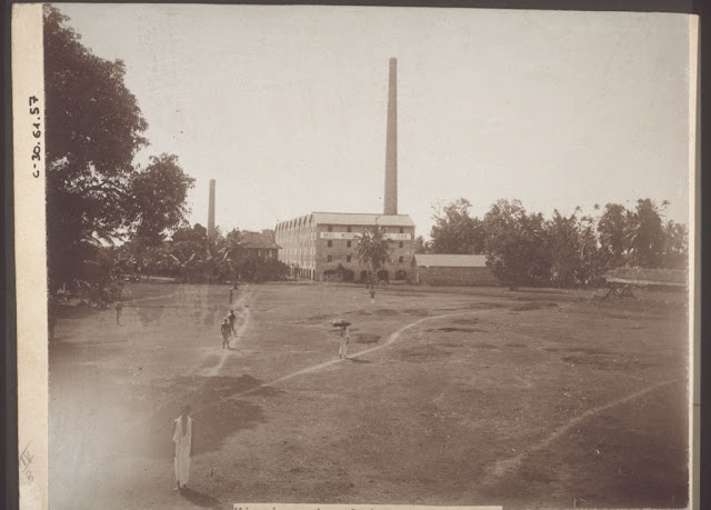


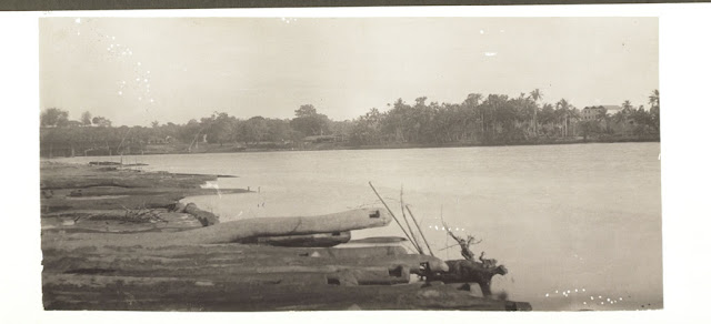

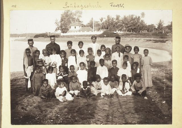
 TITLE AND DATE NOT AVAILABLE, PROBABLY FEREOKE, AND CHALIYAR CALICUT


.jpg)
.jpg)